
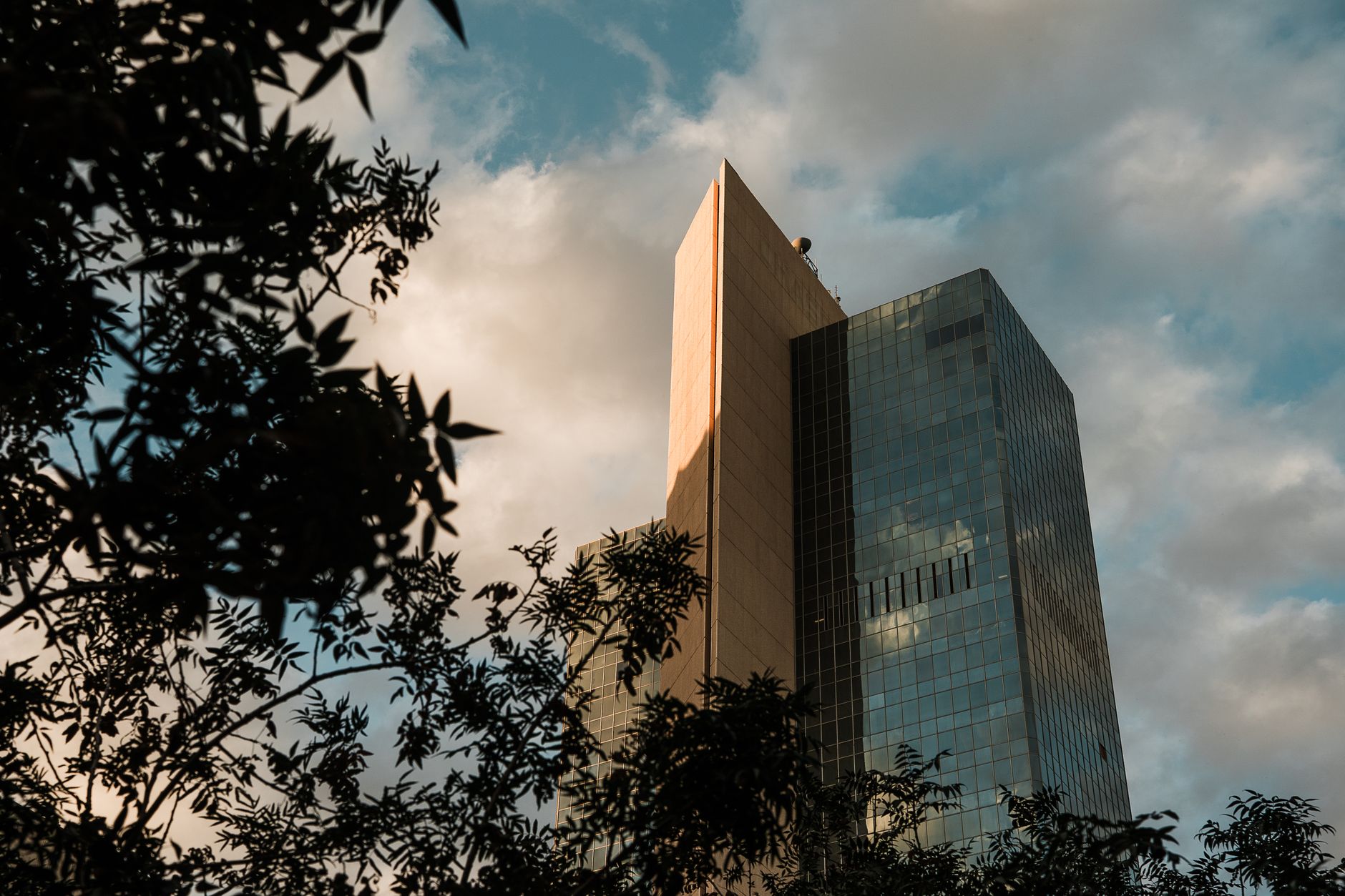
You step outside in Arcadia and the desert hits different. The irrigation canals cut through old citrus groves, the mountain views stay close, and the heat feels managed because the streets still carry shade from mature trees. Drive ten minutes west into Roosevelt Row and the scale flips again, murals on warehouse walls, bike traffic at dusk, galleries tucked between light-rail stops. Phoenix refuses to behave like one city when you stay at that level.
Most people arrive thinking the metro grid will explain itself. They loop the freeways, see the valley floor spread out, and assume the story lives in the sprawl. It doesn’t. The real texture sits inside the pockets: Encanto’s shaded lawns and mid-century homes where families still walk to the park at golden hour, Downtown’s concrete corridors that empty after dark except for the handful of blocks that hold onto life, the Scottsdale-adjacent edges where newer builds press against older ranch lots and the transition feels abrupt. Cross those lines too quickly and the place flattens into heat and distance.
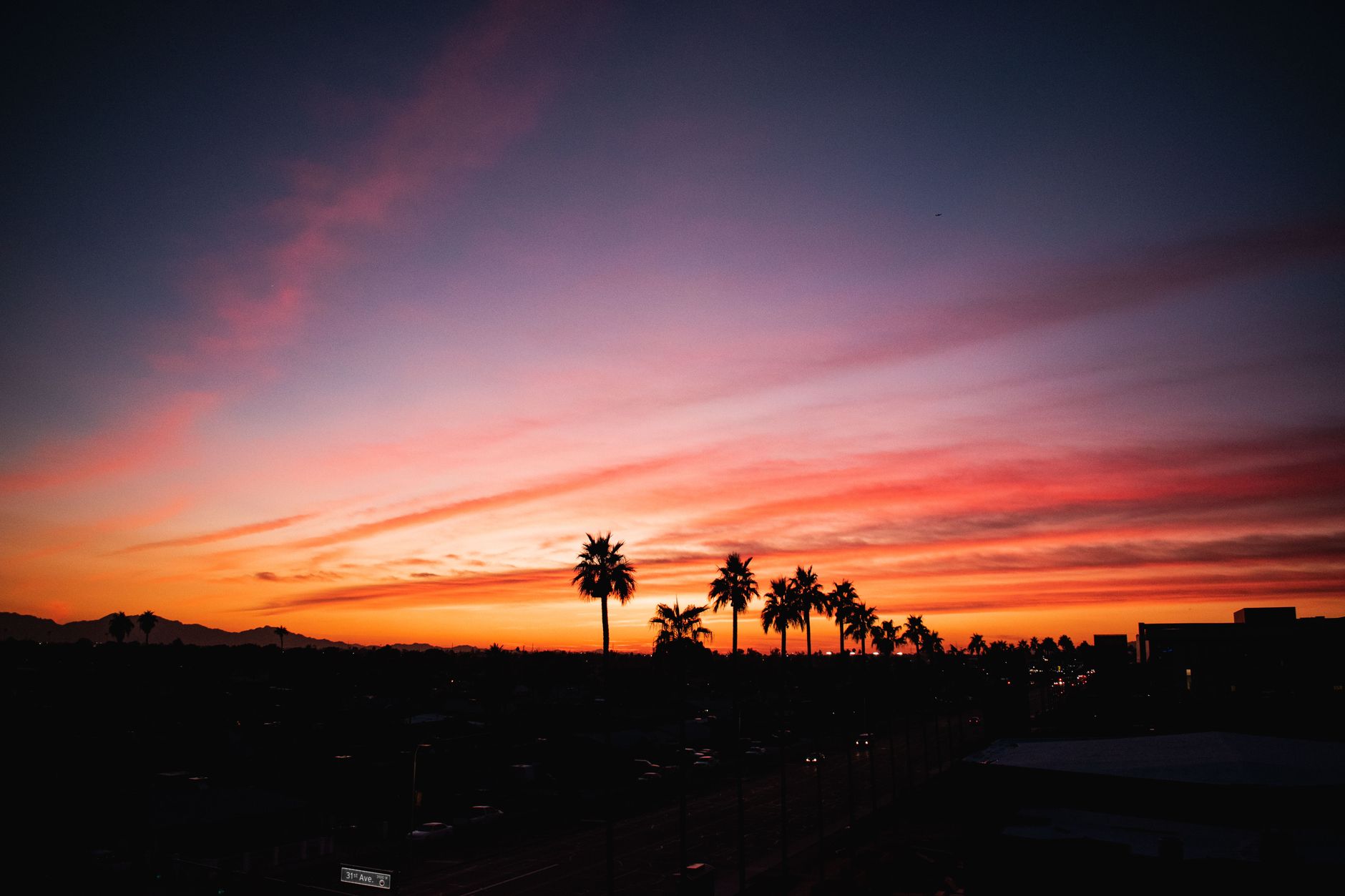
Move north from Arcadia along the Arizona Canal and the elevation rises just enough to catch clearer sightlines toward Camelback Mountain, while the residential streets keep their irrigation-fed green strips that soften the basin heat. Head east from Roosevelt Row and the light rail carries you past the warehouse conversions into areas where the grid opens up toward Papago Park’s red buttes, a sudden rise of rock that marks the edge between urban density and the open desert floor. In Encanto the tree canopy along the older avenues creates pockets of cooler air that the wider arterials never hold, and the contrast sharpens once you cross into Downtown where the buildings block the low-angle sun but trap the reflected warmth on the sidewalks after sunset.
The honest limit appears when you try to treat every neighborhood as interchangeable. You can chase the same amenities from Arcadia to Roosevelt Row and still feel like you missed the point, because the daily rhythm changes with the block. One side keeps its quiet residential streets and canal paths; the other leans into pedestrian traffic and late-night energy. Pretend the whole valley works on a single pattern and you end up driving past the actual life, stuck in the assumption that more miles equals more city. The same grid that connects everything also exposes the gaps, wide east-west corridors like Indian School Road turn into heat traps when the sun sits low, while the narrower lanes inside Encanto or the canal-side routes in Arcadia retain their own microclimate.
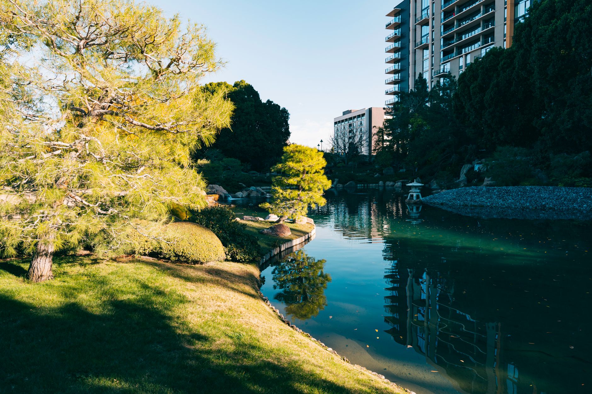
That mismatch is why the neighborhood scale matters here more than in places with a single obvious core. The desert forces separation, wide roads, intense sun, long sightlines, so the pockets that survive do it by keeping their own logic. Arcadia holds onto older landscaping and mountain proximity. Roosevelt Row keeps the creative density. Encanto protects the green respite. Downtown manages the vertical contrast. Scottsdale-adjacent zones trade on the edge between established and incoming. Each one makes sense only when you stay inside it long enough to feel the difference instead of driving over it.
The tradeoff is real: you trade the fantasy of a seamless metro for the work of learning which pocket actually fits how you move through the heat. Skip that step and Phoenix stays a map of distances rather than a set of livable rooms. The basin geography rewards those who learn the short cuts between the mountains and the buttes, the canal trails that link Arcadia to points west, and the residential grids that shield you from the main thoroughfares where the sun never lets up.
One thing. LIVIN.in has no Market Mayor in Phoenix yet. If you’re the local who actually knows how these neighborhoods trade off heat, distance, and daily rhythm, that seat’s open, come tell us.
LIVI