I've lived in Mount Shasta for over a year, and one place gets a weekly visit without negotiation: Panther Meadow. Not because nothing else is worth doing — plenty is. But Panther Meadow earns the return trip every time, in a way that doesn't dull with repetition.
The trailhead is at Panther Meadow Campground on Everett Memorial Highway, about 12.5 miles east of town off the Central Mount Shasta exit from I-5. The drive does the elevation work for you — by the time you park, you're already between 7,500 and 8,000 feet, well above the tree line that defines the town below.
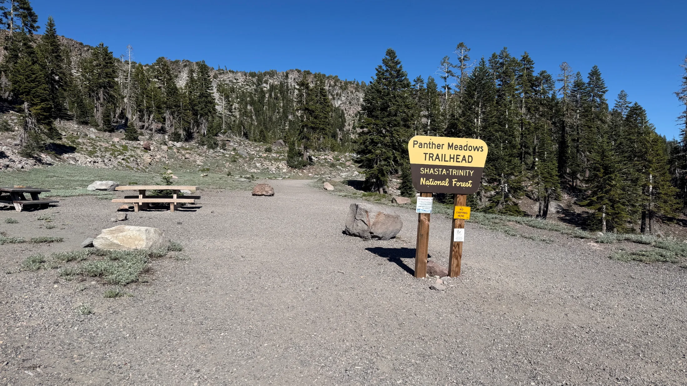
The main trail runs 1.4 miles with 350 feet of elevation gain — short enough for nearly anyone, high enough to deliver real alpine terrain. There's also a 0.7-mile upper loop option with 200 feet of gain if you want to get into the meadow fast and stay there. I've run both versions depending on the day, the company, and how much time I have before I need to be back in town.
What actually makes this trail worth fifty-plus return visits is what a small spring does to volcanic soil at 8,000 feet. That spring feeds Panther Meadow — a dense band of green wildflowers and sedge cut through with rock, divided into upper and lower sections by a line of hemlocks. The contrast between the meadow floor and the bare volcanic terrain above it hits hard the first time. It still hits on the tenth.
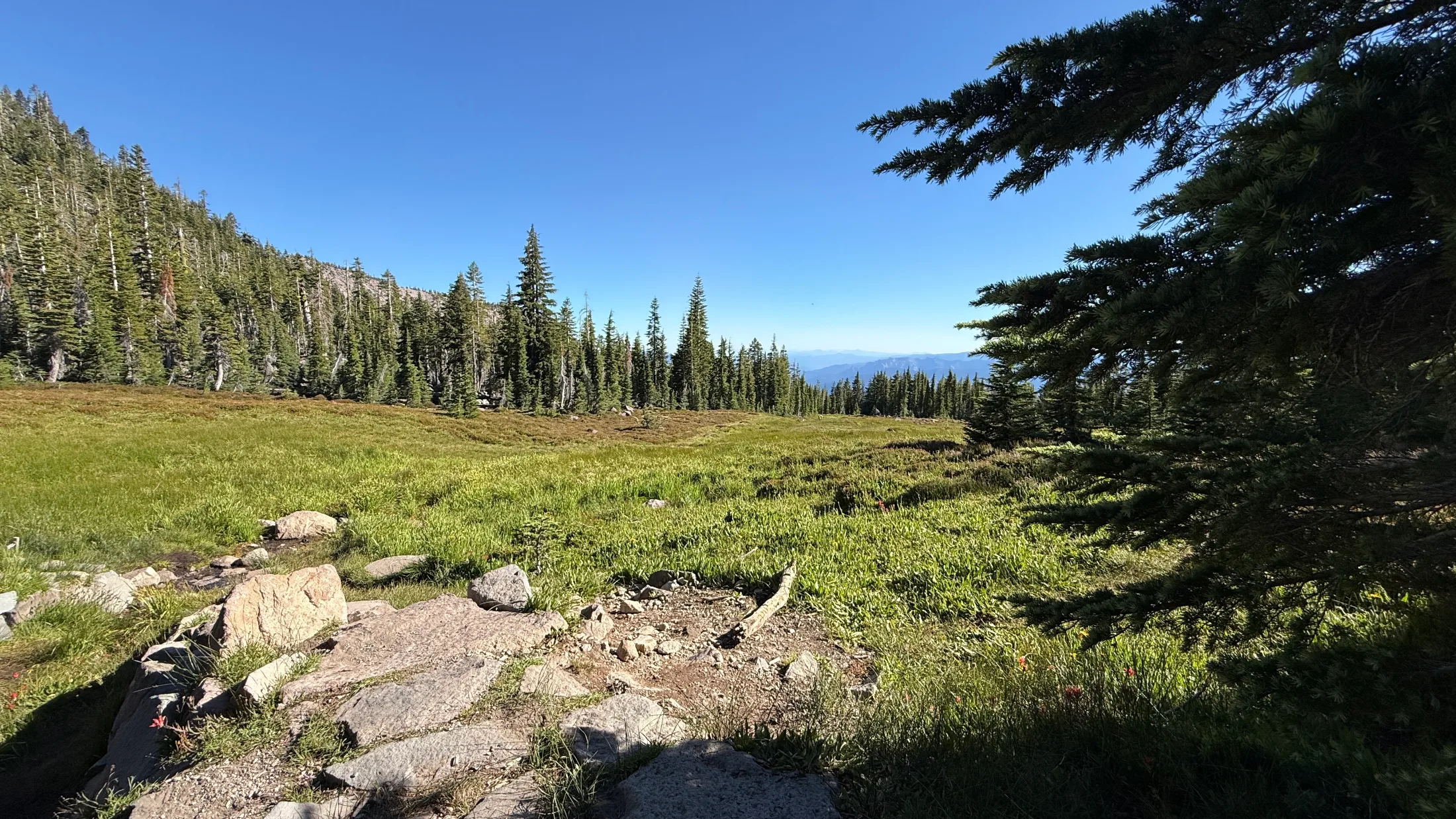
On a clear day — and most summer days up here are clear — you get Gray Butte, the Trinity Divide, and Castle Crags from the trail. The summit of Mount Shasta is right above you, snow-capped into July and beyond. It's close enough that you keep looking up even when you're trying to watch your footing.
Before you go: the vegetation is genuinely fragile, so stay on trail — no cutting across the meadow. The spring water isn't recommended for drinking. No dogs; the trail enters Mount Shasta Wilderness and Wilderness regulations prohibit them. Group size caps at 10. The road opens around June 1 and stays accessible through early fall, after the snowpack clears. The Mount Shasta Ranger Station at (530) 926-4511 can confirm current conditions.
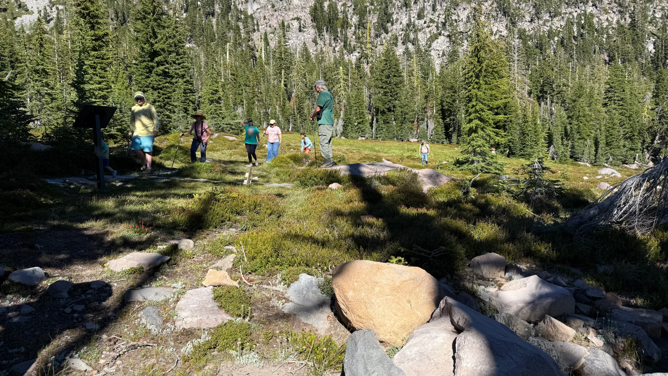
On any given visit you'll share the meadow with families on their first alpine hike, regulars who show up alone and sit on the rocks, and people who come specifically to meditate or hold ceremonies here. Panther Meadow carries real cultural and spiritual significance for many visitors — you can feel it even if you arrive with no particular intention. There's a quality of attention in how people move through this place that you don't find on most trails.
If you're new to town and figuring out where to start, this is it. If you're weighing a move here and want to understand what daily life near Mount Shasta actually looks like, read our honest take on that first, then drive up Everett Memorial Highway and see for yourself. And if the meadow opens an appetite for more mountain time, Bunny Flat is where things get considerably more serious.
After a year of weekly visits, I haven't found a reason to stop. I'm not looking for one.
Getting there: From I-5, take the Central Mount Shasta exit and head east on Lake Street, which becomes Everett Memorial Highway. Continue approximately 12.5 miles to Panther Meadow Campground. The trailhead is at the campground. Season runs June 1 through early fall. Questions: Mount Shasta Ranger Station, (530) 926-4511.