
All nine seashores on the Atlantic and Gulf of Mexico feature low-lying barrier islands. The largest national seashore or lakeshore is Gulf Islands, at over 137,000 acres, and the smallest is Fire Island, at 19,579 acres. Padre Island National Seashore has an area of 130,434 acres. Point Reyes National Seashore has an area of 71,028 acres. Canaveral National Seashore has an area of 57,662 acres, and Cape Cod National Seashore has an area of 43,607 acres. Assateague Island has an area of 39,726.75 acres.
Acreage sets the order here, largest first, and the five biggest seashores made the cut. Lakeshores are a separate group and sit this one out.
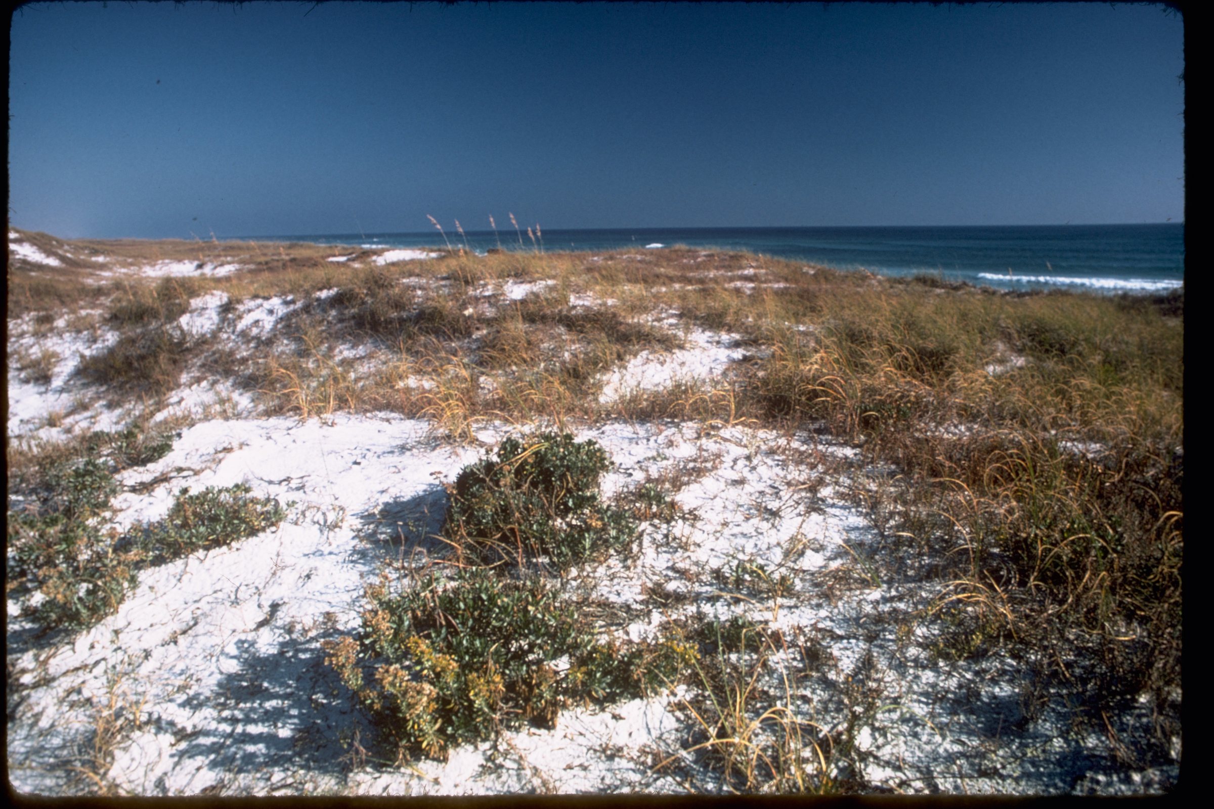
Gulf Islands National Seashore runs along the Gulf of Mexico barrier islands of Florida, Alabama, and Mississippi. It has seven main islands, nature trails for wildlife viewing, and long beaches for snorkeling, biking, and other activities. The white quartz sands of Gulf Islands originated from the Appalachian Mountains. Petit Bois, Horn, East Ship, West Ship, and Cat islands are accessible only by boat.
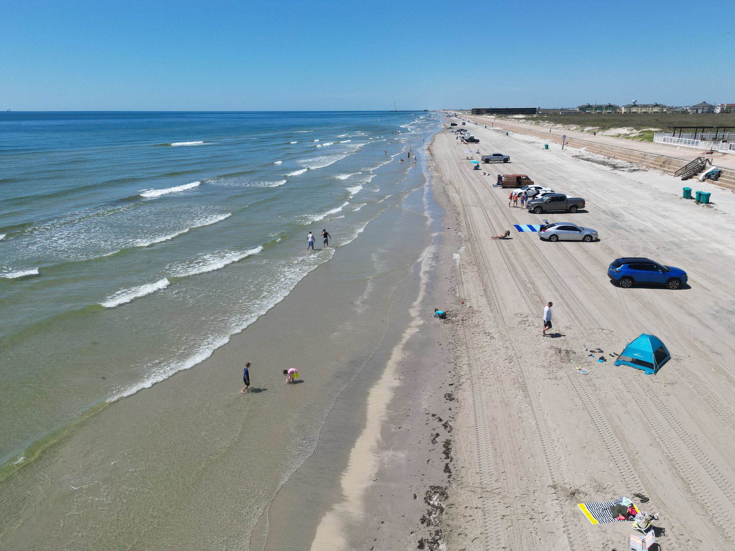
Padre Island is the longest undeveloped barrier island in the world. Padre Island is the largest of the Texas barrier islands, located along Texas's southern coast of the Gulf of Mexico, and is noted for its white sandy beaches. Padre Island National Seashore is 70 miles long with 65.5 miles of Gulf beach. The seashore hosts a variety of pristine beach, dune, and tidal flat environments, including the Laguna Madre on its west coast, a famous spot for windsurfing. Most of Padre Island National Seashore is primitive, but camping is available, and most of the beach is only accessible to four-wheel-drive vehicles. Padre Island National Seashore sits on the Central Flyway, a major migratory route for birds, and about 380 species of birds have been documented within the park, approximately 45% of all bird species documented within North America. A program to re-establish a nesting beach for Kemp's ridley sea turtles on Padre Island was begun in 1978, and in 1992, the first two turtles from the program returned to Padre Island beach to lay their eggs.
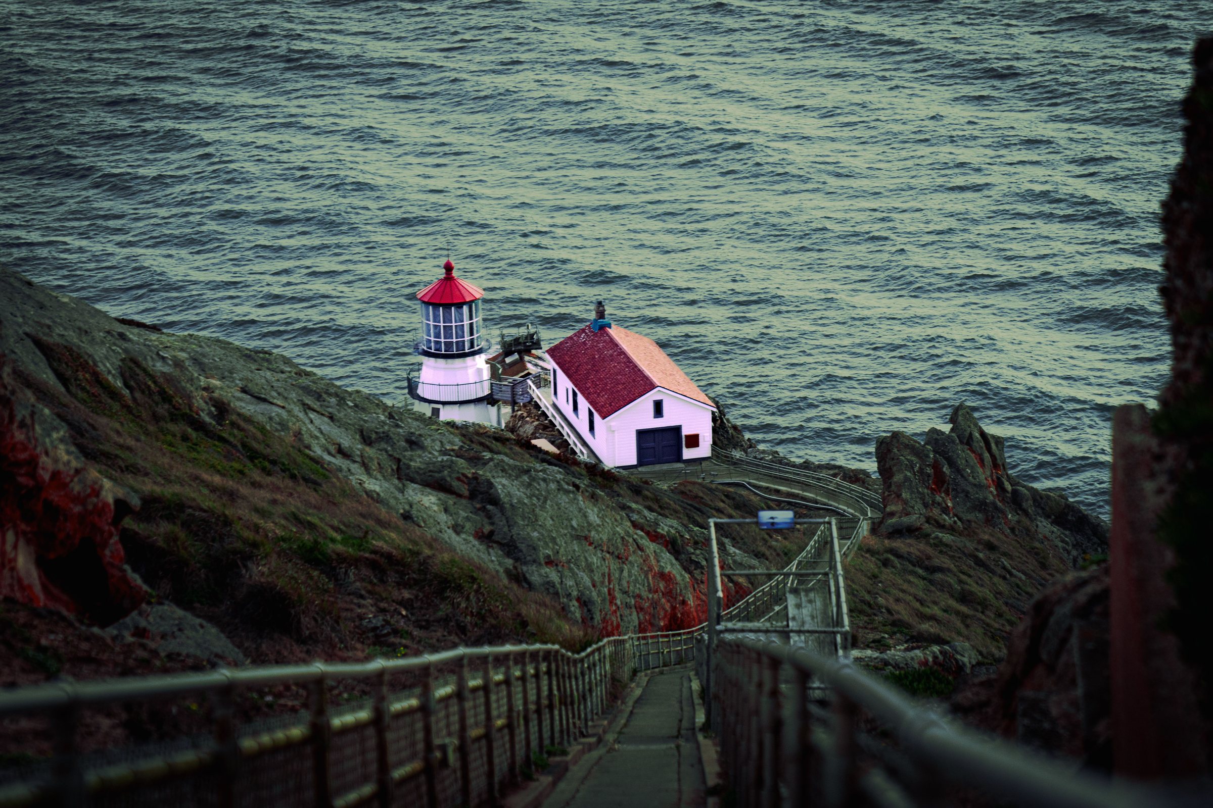
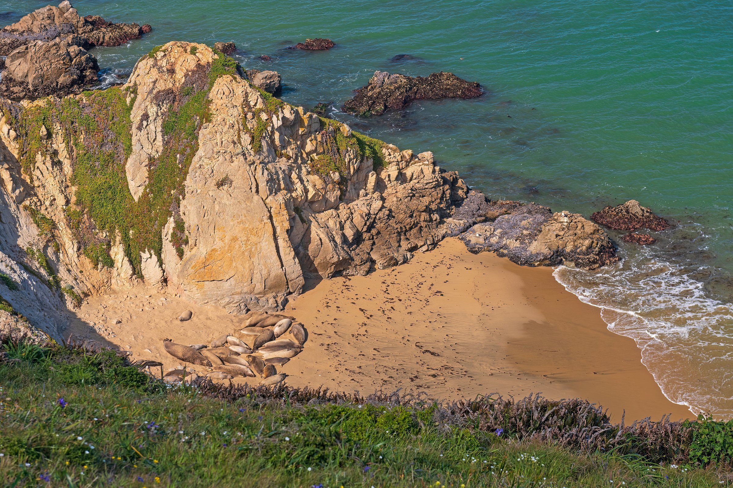
Point Reyes National Seashore is a 71,028-acre park preserve located on the Point Reyes Peninsula in Marin County, California. The Point Reyes peninsula is a well defined area, geologically separated from the rest of Marin County and almost all of the continental United States by a rift zone of the San Andreas Fault. The small town of Olema, about 3 miles south of Point Reyes Station, serves as the gateway to the Seashore and its visitor center. About half of Point Reyes National Seashore is protected as wilderness. The 100 miles of coastline at Point Reyes National Seashore include estuaries, bays and lagoons. Point Reyes National Seashore harbors 45% of North America's bird species and 18% of California's plant species. The Point Reyes Lighthouse attracts whale-watchers looking for the gray whale migrating south in mid-January and north in mid-March. Alamere Creek ends in Alamere Falls, one of only two coastside waterfalls in California. In 1978, ten tule elk were reintroduced to Point Reyes. When elephant seals established a rookery in 1981, Point Reyes National Seashore became the only U.S. national park south of Alaska with breeding ungulate and pinniped megafauna. The first elephant seal breeding colony at Point Reyes was established at Chimney Beach, which is protected by 100-foot cliffs.
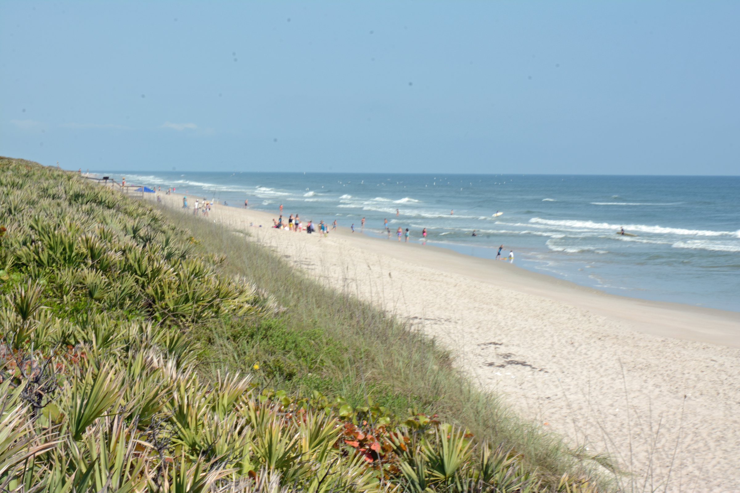
The Canaveral National Seashore is located between New Smyrna Beach and Titusville, Florida, and it occupies 57,662 acres, including lagoons. Canaveral National Seashore consists of 24 miles of beaches, dunes, mangrove wetlands, and a large portion of the Mosquito Lagoon. The Canaveral National Seashore is also the longest expanse of undeveloped land along the East Coast of Florida. Florida's longest undeveloped Atlantic beach surrounds Mosquito Lagoon, which is home to dolphins, manatees, and sea turtles, along with a variety of sea grasses. The Canaveral National Seashore is home to more than 1,000 plant species and 310 bird species. There are 3 major beach sections in Canaveral National Seashore: the southern section is Playalinda Beach, the middle section is Klondike Beach, and the northern section is Apollo Beach. Turtle Mound, at 35 feet in height, is the largest midden at Canaveral National Seashore. Castle Windy, a 17-foot-tall midden on the barrier island, dates from 1200 CE, and it continued for another 300 years. The Canaveral National Seashore is a popular place for boaters, kayakers, fishers, sun-bathers, and hunters with many opportunities for recreation. Canaveral National Seashore features numerous boat ramps and locations for launching kayaks, along with miles of beaches popular with locals and tourists.
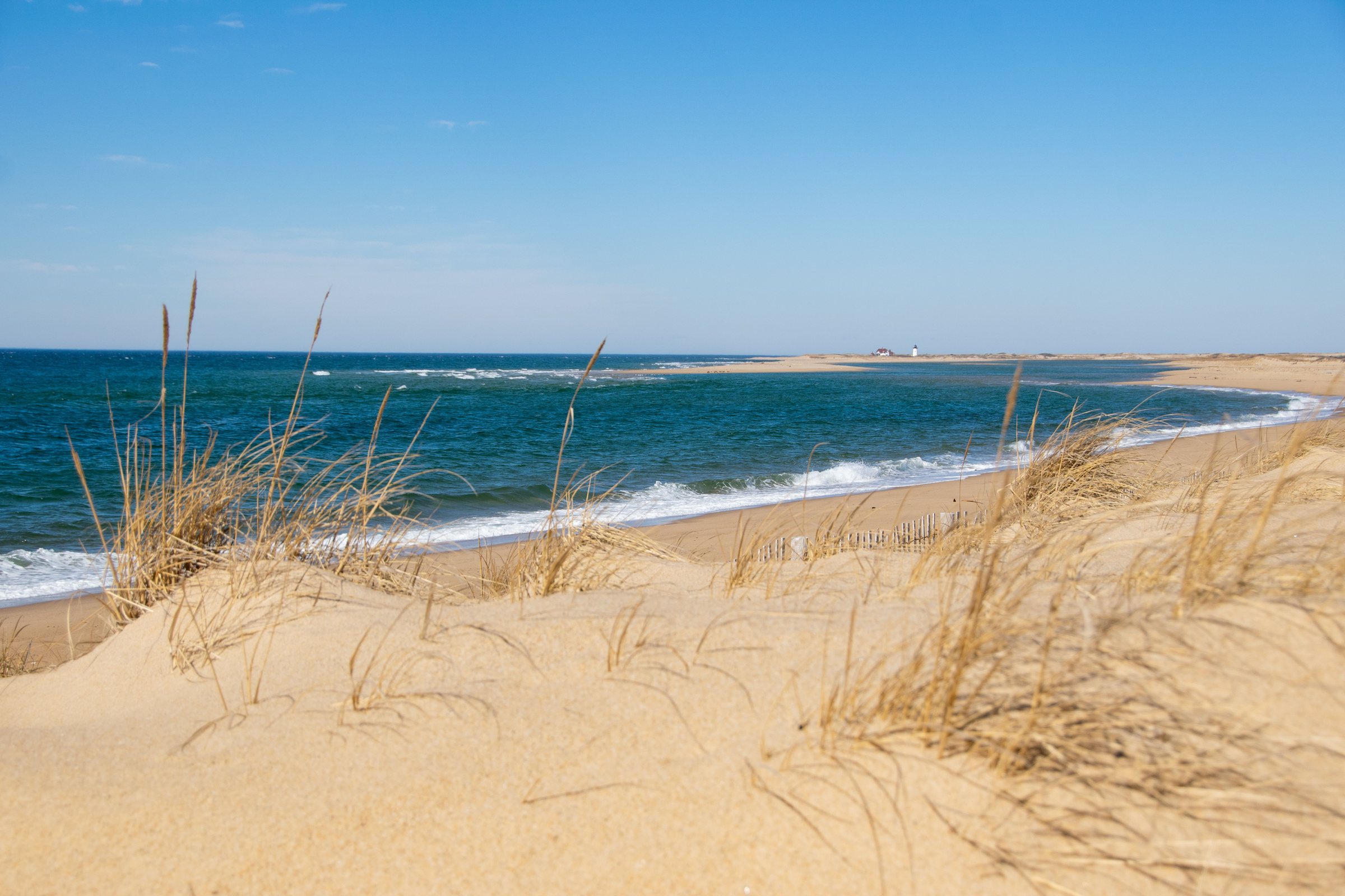
The Cape Cod National Seashore encompasses 43,607 acres on Cape Cod, in Massachusetts. It includes nearly 40 miles of seashore along the Atlantic-facing eastern shore of Cape Cod. The seashore includes ponds, woods and beachfront of the Atlantic coastal pine barrens ecoregion. Notable sites there include Marconi Station, site of the first two-way transatlantic radio transmission, and the glacial erratic known as Doane Rock. Another notable site is the Dune Shacks of Peaked Hill Bars Historic District, a 1,950-acre historic district containing dune shacks and the dune environment. Beaches with public facilities along the Cape Cod National Seashore coastline include Race Point Beach in Provincetown and Coast Guard Beach in Eastham.
Cranberry bogs, marshes, and hiking trails provide a look into the flora and fauna of Cape Cod, and the area has the Three Sisters Lighthouses. Where You LIVE.