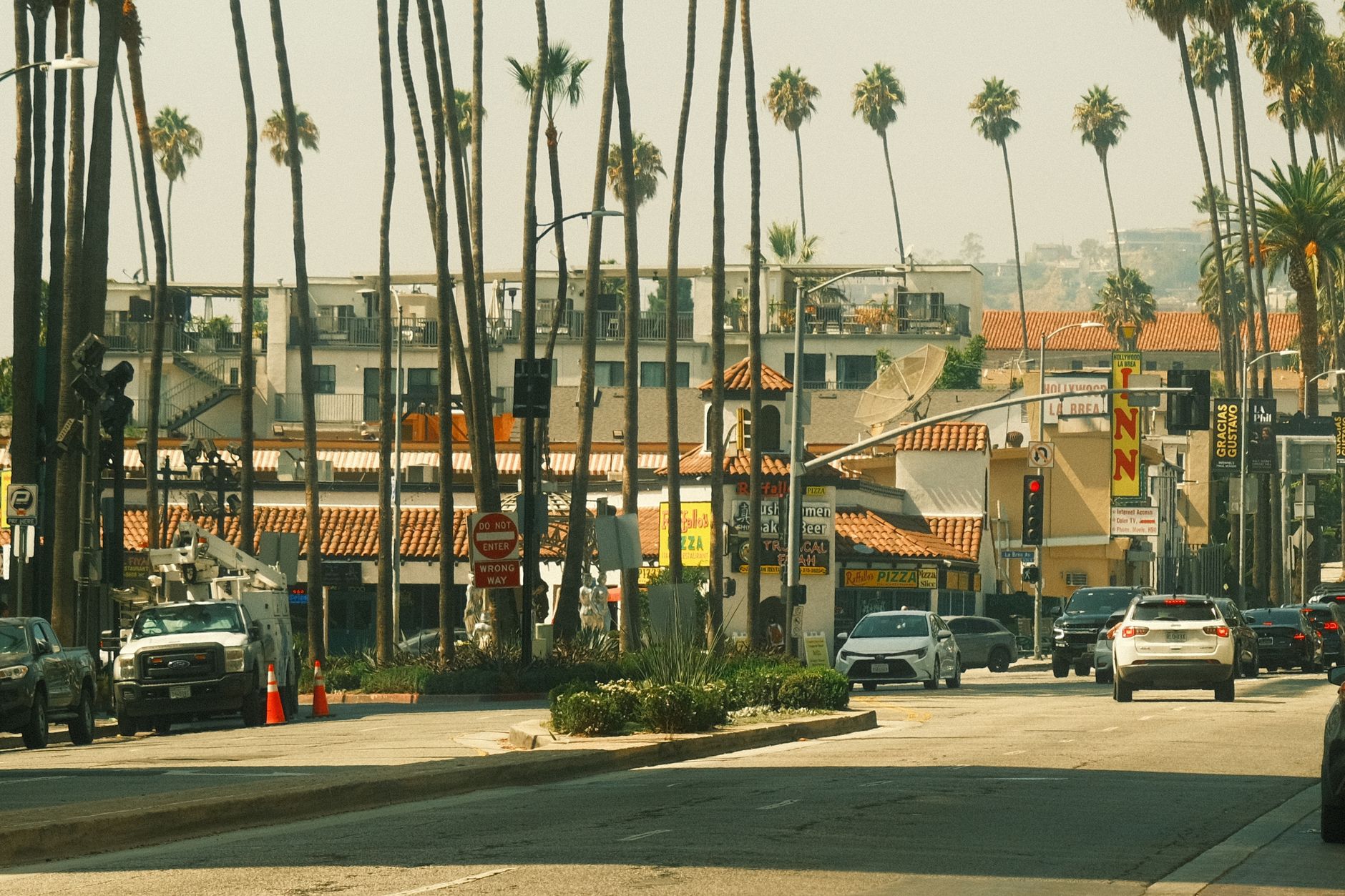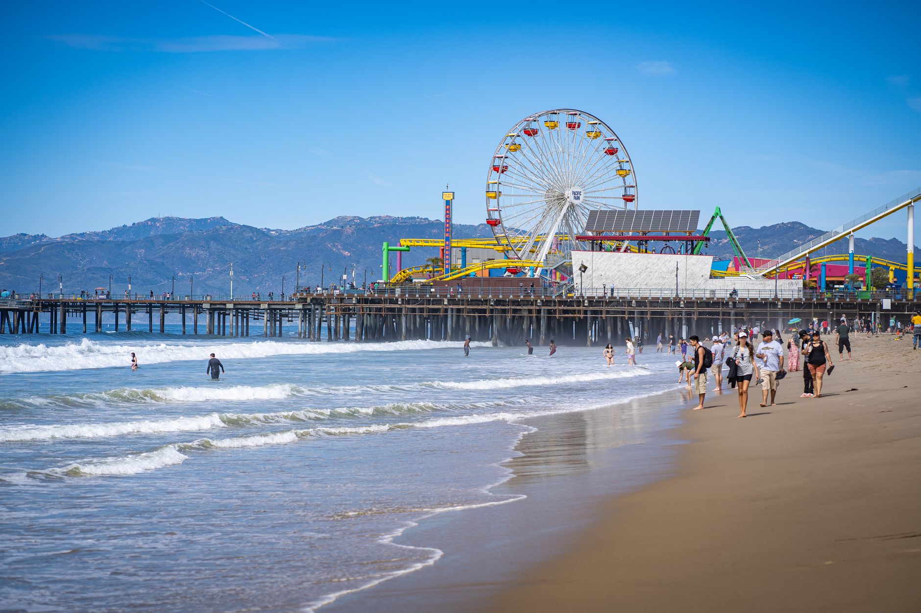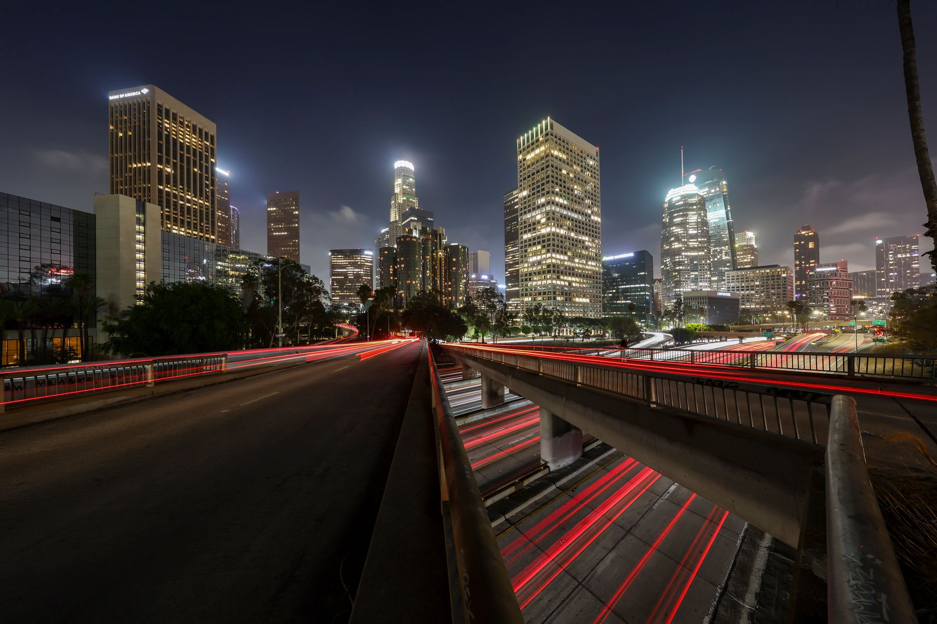
You don’t live in Los Angeles. You live in one slice of it, and the rest of the city might as well be another country. The 405 doesn’t just separate the Westside from the Valley; it cuts off entire ways of seeing the day. Cross it at rush hour and the light changes, the accents shift, the pace resets. People who say they’re moving to “LA” usually mean they’ve picked one of these pockets and are about to learn its rules the hard way.
I spent time in Venice first, where the ocean sets the rhythm and the boardwalk noise leaks into every side street. The mornings start with salt air and end with the same fog rolling back in. A few miles inland in Mar Vista the same ocean feels distant; you get the marine layer without the constant salt on your skin. Drive north into the hills above Silver Lake and the view flips again—reservoir below, downtown towers catching the last sun, the Hollywood sign sitting small and stubborn on its ridge. Each of these places claims its own version of the city, and none of them fully overlap.
The honest failure mode is pretending these neighborhoods are interchangeable. Someone who chooses the flats of Mid-Wilshire for the grid of quiet streets and quick access to the 10 will still hit the same wall when they try to reach the San Fernando Valley for a weekend trail run in the Santa Monica Mountains. The commute carves the day into before and after. You either accept that the 101 or the 134 will eat an hour each way, or you stop pretending one side of the hill is reachable on the other side’s schedule. The same split shows up between the dense blocks of Koreatown and the spread-out streets of Studio City; both have their own logic, both punish the person who treats them as backup options.
Altitude makes the separation visible. Stand at Griffith Observatory at dusk and the basin spreads out in layers—downtown lights stacked against the Palos Verdes peninsula haze, the Valley glowing separately on the far side of the ridge. Drop down into Echo Park and the same city feels compressed, the lake reflecting only the immediate hills and the 101 traffic below. The view from the water in Marina del Rey shows almost none of that; just the curve of the coast and the blunt end of the airport runways. Each vantage point hides the others.
The tradeoff is real choice against constant friction. You can find the exact slope, the exact stretch of sidewalk or canyon road that matches how you want to move through a day, but you give up the fantasy of the whole city being available without cost. The neighborhoods reward people who stop trying to stitch them together and instead learn the one they actually chose. Everything else stays on the other side of the ridge or the freeway or the marine layer.
One thing. LIVIN.in has no Market Mayor in Los Angeles yet. If you’re the local who actually knows how these neighborhoods trade off against each other, that seat's open — come tell us.
— LIVI